Tag Archives: Haida Gwaii

Haida Gwaii is now just Haida Gwaii

a.k.a., The-Islands-Coming-Out-Of-Concealment.

The thinnest possible news report from the Times-Colonist says that the BC Government will now use “Haida Gwaii” in all official contexts, rather than “The Queen Charlotte Islands”.  Presumably this means it will be changed in the official BC Gazetteer but so far it shows no such change this calendar year.  More from the Globe and Mail:

“The change is a very important symbolic gesture,” said Guujaaw, president of the Haida Nation. (Guujaaw goes by one name.) “That’s the land that gave us our life and culture. It’s the proper name.”

Robert Finch, chief executive officer of the Monarchist League of Canada, said he was surprised and disappointed by the B.C. government’s decision. “They assume that they’re doing a good thing, but they’re erasing a very big part of Canada’s heritage.”

I wonder if Robert Finch has even the faintest idea of how clueless he sounds, how arrogant and absurd and, frankly, irrelevant.  Maybe if he spent more time thinking about the Crown’s broken promises to aboriginal people he would be less likely to spout such verbal tripe.

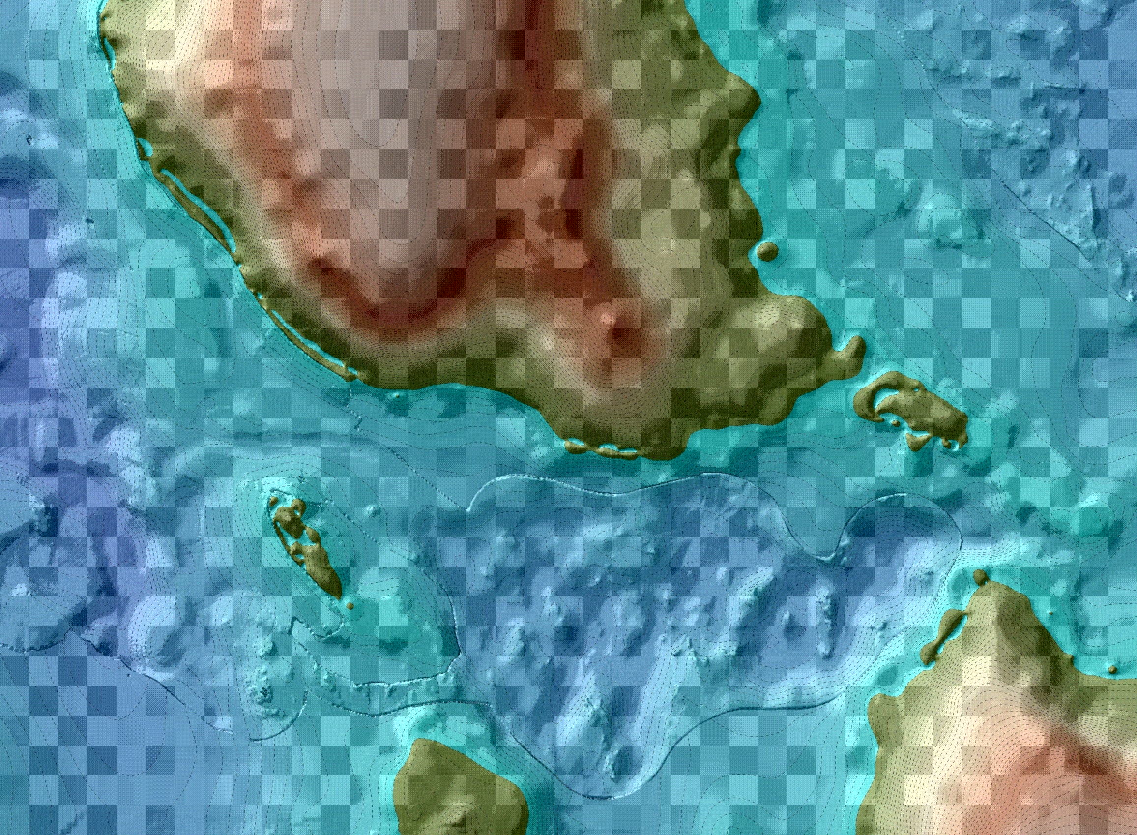
Anyway, this will simplify journal articles, where it will no longer be necessary to footnote the name “Queen Charlotte Islands” or refer to “locally known as Haida Gwaii and henceforth referred to thusly”.  Meanwhile, enjoy the picture above: coming home through north Juan Perez Sound.

Annotation: Kilgii Gwaay excavations.

Excavation at Kilgii Gwaay, southern Haida Gwaii.

I’ve found that individual powerpoint slides can be saved as JPG images, complete with their annotations.  Since I have a lot of these I may share some.  The above shows excavation in the shell-rich component of the intertidal site at Kilgii Gwaay.  The combination of shellfish remains and saturation in slightly alkaline sea water has produced remarkable preservation for a site which is firmly dated via about 20 carbon samples to 9450 14C BP, or around 10,700 calendar years ago.  In this picture you can see some of the evidence: bone tools, stone tools, and the remains of shellfish, fish and mammals which, together with birds, formed the basis of the diet at this summertime camp.

Continue reading

Raven-Walking & Geological Transformation

Haida History starts at least 14,500 years ago. (Image credit: Daryl Fedje).

Three things we know about Haida Gwaii:

1.  About 14,500 calendar years ago it was a temperate tundra environment, with no trees.  The first trees, pine, appear about 14,000 years ago and there is progressive forest infilling thereafter, with the modern species mixture in place by about 3,000 years ago.

2. It has an impoverished suite of large land mammals – historically, these were limited to black bear, caribou, marten, ermine, a vole and a shrew.  We know that 13,000 years ago there were also deer and brown bear on the islands, and quite likely other species as well.

3.  It used to be much larger than in the present.  With lower sea levels at the end of the last ice age, Hecate Strait was largely dry land, exposing a large, unglaciated, coastal plain that became rapidly flooded.

It seems to me that we can add a fourth thing we know:

Continue reading

Mechanical representation in a Haida Pipe

Haida Pipes, 1837. From U. Washington Collection.

I don’t know much about these early historic Haida argillite pipes.  These ones are illustrated in Edward Belcher’s Narrative of a voyage round the world, 1843, v.1, p. 309.  The lower one captured my attention, with its representation of a conveyor belt (?!) – or, more likely, a block-and-tackle/pulley setup.  The playful seriousness of these pipes is astounding – as can be seen in my earlier post on the SS Beaver pipe.  I would like to see a photograph of this one but I have no idea where it may have ended up.

The image is via the superb University of Washington Digital NW collections.

dSpace: The Indian History Film Project

Haida Town of Chaatl. Source: NMC

There is an interesting archive of interview transcripts housed in dSpace at the University of Regina.  Most of the interviews were by CBC Radio’s Imbert Orchard and so share the flaws of Journalism and Anthropology.   The preamble says,

The original intent of The Indian History Film Project was to conduct interviews with First Nations elders across Canada and to produce a television series portraying Canadian history from a First Nations’ perspective.

The Indian History Film Project was an initiative of Direction Films and was conceived and developed by Tony Snowsill. The project leaders were Tony Snowsill and Christine Welsh. The project evolved over time, and eventually it was decided to access libraries and archives across the country to incorporate existing interviews with First Nations elders. All interviews, whether original or archival, were cross indexed by word and theme and housed in the C.P.R.C [Canadian Plains Research Centre].

A number of these interviews are with Haida people, notably Solomon Wilson and Florence Edenshaw, who discussed her arranged marriage, the meaning of Tow Hill, and the artistic tradition of her family, the Edenshaws and Davidsons.  It appears tapes of these are also available through the BC Archives, but not online.

Note: anytime you see (Indian) it means that a Haida word was not transcribed — an eerie effect.  Searching for British Columbia brings up 91 documents.

The following excerpt from an interview with Solomon Wilson of Skidegate sees him relating a tale of smallpox blankets:

Continue reading

Pitt Rivers Museum Haida Collection on flickr.com

Any idea what activity is being represented on this Haida argillite carving?

The Pitt Rivers Museum in Oxford is one of the world’s great ethnological museums.  Indeed, it is largely presented as a “museum of a museum”, with artifacts and curios displayed in glass cases in juxtapositions that made sense to anthropologists.  Now I see they are putting some of their collection online – one of many interesting innovations going on at that museum.  The Haida Collection which Cara Krmpotich has worked on consists of 200 really well composed and lit photos on the flickr.com website.  Cara notes that she hopes making this material available in this manner will facilitate its use by Haida people and I expect they will (indeed one person with a Haida name has been commenting on some of the photos).  Coincidentally, I see there has recently been a Haida delegation to the Pitt-Rivers museum.

In any case, the flickr set is a fantastic set of images of Haida art and technology. It would be nice to have the full catalogue information or other information associated with these, or at least a statement that such information is lacking.  While there are visually spectacular items throughout the set, also check these plain spoons from SGang’gwaay, Tanu’uu and Masset,  this bird bone whistle, and this tidy little loop of twine.

Haida wooden labret at Pitt Rivers museum.

Argillite Beaver

Haida argillite pipe representing the SS Beaver. Photo: University of Aberdeen.

The SS Beaver was a prominent early side-wheel trading ship on the NW Coast.  Nice to see it memorialized by Haida argillite pipe in the Marischal Museum collection of the University of Aberdeen, along with some other exceptional Haida pipes.  Apparently donated to the museum by the former Captain of the SS Beaver, William Mitchell, this pipe sports a rotating side wheel carved from whale bone, a beaver figurehead, and someone peeking out of the cabin windows, perhaps Capt. Mitchell himself who probably commissioned this carving.  Some other close ups (in an awkward zoomable interface) are  available on the Scots and Aboriginal People in the Fur Trade site.  More on the SS Beaver here.

A figure looking out the window of the SS Beaver pipe.

Sgaawsid K’uuljaad, the Boss Lady Potato.

Sgaawsid K'uuljaad gets funky.

Silly season in Haida Gwaii must have started, as Carey’s potato of unusual size is stolen (and returned), but not before a star appearance or two on youtube.

Skidegate Haida Model Village

Model of Skidegate (hlgaagilda 'llnagaay) as installed at Chicago Exhibition, 1893.

Model of Skidegate (hlgaagilda 'llnagaay) as installed at Chicago Exhibition, 1893.

The Burke Museum in Seattle is doing excellent work.  I just found the project which they are spearheading, together with the Haida Museum at Kaay’llnagaay and the Field Museum in Chicago, to reassemble the famous model village of Skidegate (hlgaagilda ‘llnagaay) created for the 1893  Chicago World Fair.  This exhibition was organized by Putnam, implemented by Boas, who hired James Deans (a well known Victoria antiquarian) to collect some NW Coast stuff.  Deans outdid himself by arranging for the carving of a complete model of Skidegate Village  – amounting to some 27 model houses (most with frontal poles), 2 model mortuary houses, and 17 free standing model poles.  (Deans also apparently collected three boxcars of other material including an entire house, canoe and other material, but that’s another story).

The Burke Museum now allows you to view an interactive panorama of the model village.

The website is designed both to showcase these model houses and also to help find the 13 houses and poles which have gone missing.   The intention is to return the model village to Kaay in 2011.  Replacement poles and houses will be commisioned for those that cannot be found.   A highlight are the videos of Skidegate residents such as Captain Gold, Niis Wes, Percy Williams, Kii7iljuus, and Kwiaahwah Jones talking about the model village, about family, and above all about being Haida yesterday, today and tomorrow.

House of Contentment, model carved by George Dickson

House of Contentment, model carved by George Dickson

Fieldwork Picture of the Day 9

Danny at the helm,  aaaargh Billy.

Danny at the helm, aaaargh Billy.

Underwater research at Section Cove, near Gaadu Din. I posted a picture earlier of a diver on the bottom.  Here is a view from topside — Danny, boat skipper, wise-ass and all round rock solid good guy — has a GPS-linked laptop in front of him which is displaying the bathymetry of Section Cove.  (see the image on Danny’s screen here, courtesy of Daryl).  This enables him to tow the sonar fish exactly where required, or, on this occasion, help position a small dredging bucket for bottom sampling purposes.  With differential GPS, you can position the ship to within less than a metre of where you want it, relative to the bottom.  This means measuring the distance between the GPS antenna and the crane and building in an offset, which is trickier than it sounds. The bathymetry is also sub-metre in resolution.  Thus, we can target the bucket exactly where we want it — of course strong currents and bucket flutter can still move it around some.  It has been slow progress on this work but all the pieces are in place for what could be an exciting breakthrough –  a base camp on a small lake, now drowned, dating to sometime older than 11,500 solar years ago would be most welcome considering most of our other sites of this age are rather one-dimensional.

The purpose of the camp could be base camp for bear hunting in the nearby Gaadu Din caves, or more likely sockeye fishing in the lake-stream system that used to flow along the terrain here, under Danny’s  keel.

The lake, the salmon, the cave, the creek.  Green tones are now underwater.

The lake, the salmon, the cave, the creek. Green tones are now underwater. Image prepared by Daryl.