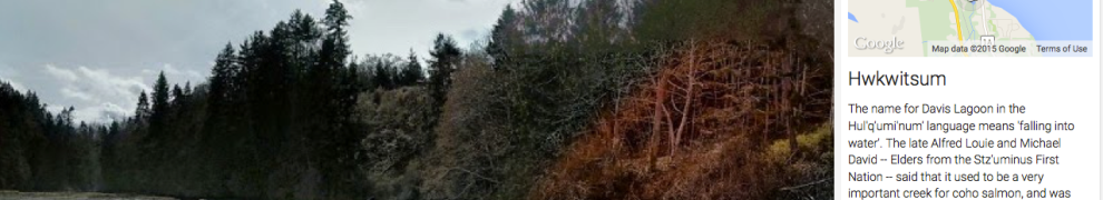
Hwkwitsum (Davis Lagoon) on Google Street View. Screenshot from Google. Click to visit site.
While perhaps best known for having an excellent espresso machine within arm’s reach of his office recliner, UVIC’s own Dr. Brian Thom also runs the Anthropology Department’s Ethnographic Mapping Lab. One recent creation of this lab is a project to incorporate panoramic, scrollable photos and expository text of certain Coast Salish cultural landscapes into Google’s street view (Brian has been working on several cool projects with Google’s sponsorship and assistance.) This is a cool example of applied community-based research brought to the public eye in a sensitive manner.
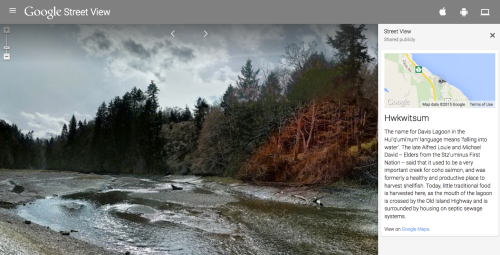
Hw’e’itun on Google Street View. Source: screenshot. Click to go to full page.
The above is one of the more interesting ones in that it shows Hw’e’itun at Dionisio Point on Galiano Island, known for excavations by Don Mitchell and more recently by Colin Grier. The StreetView summary leads you out to some more information on this site:
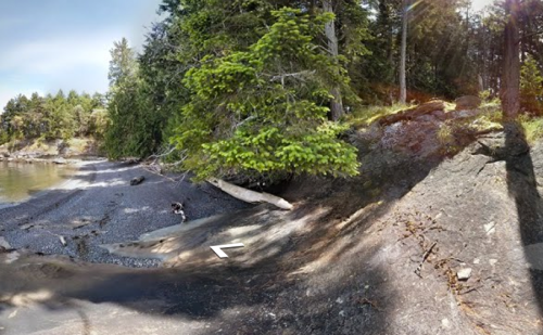
This is an ancestral village site of the Penelakut Tribe and an ongoing place of cultural, ecological and social significance to Penelakut people. It is also a treasured and significant archaeological site, DgRv-3, which has been carefully researched through a collaborative partnership between Penelakut Tribe, archaeologists Washington State University, and BC Parks. Some of the results of this archaeological research are available here (http://wsm.wsu.edu/s/index.php?id=997) and a photo-based essay is here (http://wsm.wsu.edu/s/we.php?id=333).
Equally, the picture below goes to a summary of Leeyqsun, Shingle Point on Valdes Island: village site, huge clam garden, and so much more. The blurb takes you out to discussion of the research Brian and his group have been doing on the historic movements of the Lyackson away from Valdes (PDF). I’m not sure if there are plans to expand the current selection of Coast Salish cultural places but there is a lot of content there already if you follow out the links in many of the summaries. By the way, if you missed it, the venerable (in web years) Brian Thom’s Coast Salish Page is now hosted at UVIC and is an important source for references and downloads on the cultural and natural history of the Salish Sea.
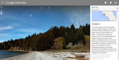
Leeyqsun from Google Street View screenshot. Click to visit page.


Thanks for profiling this Quentin! I was really pleased to have my photo spheres project get included in Google’s Street View Gallery. The gallery is a set of “special collects” in Street View by Google and their partners at UNESCO sites, NASA, in museums and art galleries, and so on. http://www.google.com/maps/streetview/. It is great to see these wonderful places in the Coast Salish landscape be profiled alongside these other iconic places. In my descriptions, I wanted to celebrate the indigenous names for these places, and highlight their archaeological values, where the information is publicly available, and in places their precarious position.
LikeLike
As two-eyes would say: “Rad”
LikeLike
Very cool! and I have been doing the same thing, though not publicly for Squamish Nation place names. May move in the direction you have done so well at!
LikeLike
Good work Brian – thanks for bringing this to my attention Quentin. I’m working on a similar platform with White River First Nation on place names of the Yukon-Alaska borderlands and will send you along a link to this later in the fall. ’till then, take care down there.
LikeLike
This is so interesting — a way for those of us who want to know more about landscape and its extraordinary resonances.
LikeLike